Some places impress you instantly with their height. Others stay quiet at first—until you realize you’ve been staring at the horizon for an hour without moving. Cape Breton Island belongs firmly in the second category.
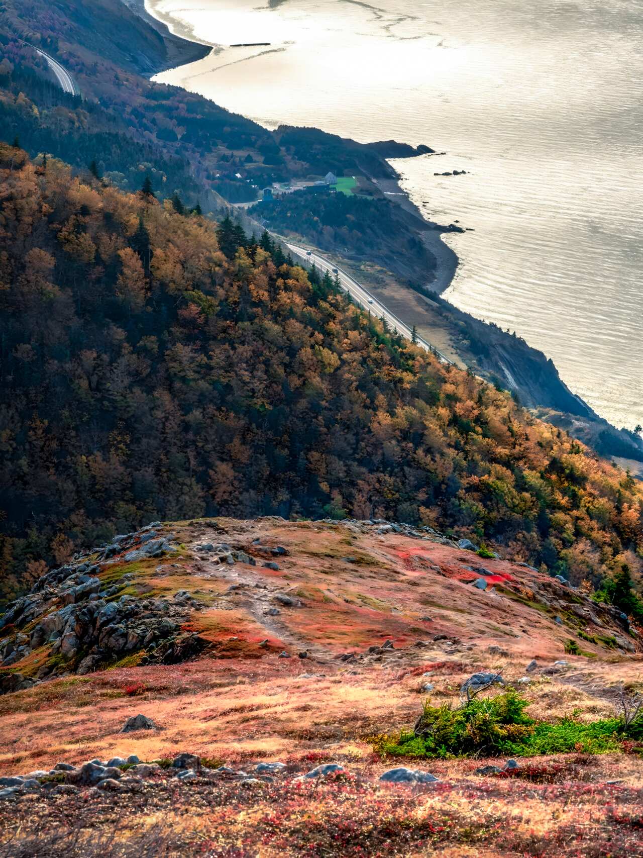
As an architect, I tend to view landscapes through the lens of scale and composition. If Banff is a soaring cathedral of stone and Whistler is a rugged Pacific fortress, then Cape Breton is a masterclass in coastal shoring. Here, the mountains don’t just exist; they beautifully collide with the Atlantic. Forested highlands drop 300 meters straight into the surf, creating a rare geometry where the alpine and the oceanic coexist in a single frame.
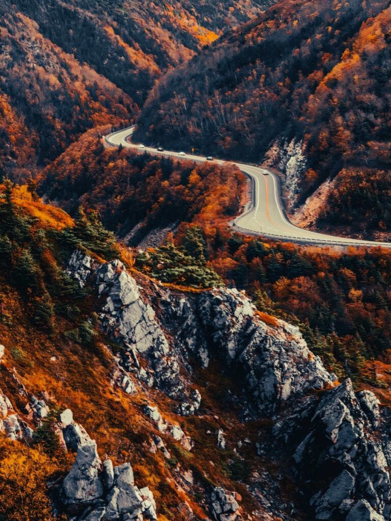
The Cabot Trail: A 300km Loop of Form and Function
The legendary Cabot Trail is the spine of the island. While many travel guides suggest driving it in a single day, I recommend spending more time fully immersing and discovering the many highlights that this stunning and very unique place has to offer.
- The Approach: Always drive Counter-Clockwise. This puts your vehicle on the “ocean side” of the road. For photography, this means no power lines or oncoming traffic blocking your view of the sheer drop-offs at Cap Rouge.
Key Waypoints: Start in the lakeside quiet of Baddeck, move into the high-elevation drama of Ingonish, and finish in the vibrant Acadian culture of Cheticamp.
Sparrow’s Field Kit: Atlantic Alpine Essentials
This is my personal 12-point “Standard Operating Procedure” for every hike on the Atlantic edge.
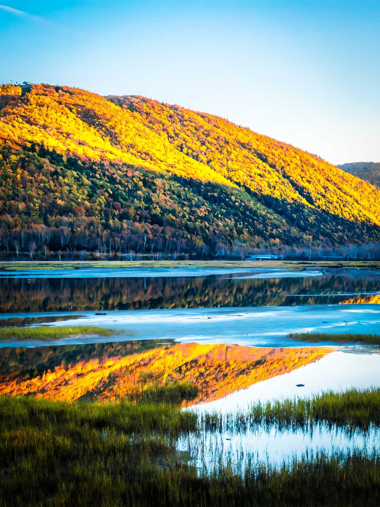
- Best Time: September to early October for the “Celtic Colours” (peak foliage).
- The Cabot Trail: Drive Counter-Clockwise. It keeps the Atlantic on your right and the sun behind your camera for afternoon shots.
- Park Permits: A Parks Canada pass is mandatory for the Highlands. Buy it in Ingonish or Cheticamp.
- Gear Architecture: Sturdy hiking boots are non-negotiable for the rocky, root-heavy Franey Trail.
- Water: Carry at least 3 liters. The highland plateaus are exposed and salt air dehydrates you faster than you’d expect.
- Offline Navigation: Cell service is zero in the canyons. Download AllTrails or Gaia GPS maps before leaving Baddeck.
- Wildlife Safety: Watch for Moose at dawn/dusk. Carry a whistle for coyotes, though they are rarely seen.
- Fuel Strategy: Pack high-calorie snacks like beef jerky or oatcakes for the trail, then hit Cheticamp for fresh seafood.
- Emergency Lighting: Essential. If you’re shooting the sunset at Skyline, the 4km walk back is in total darkness. Carry a dedicated Headlamp.
- Stability & Support: A Trekking Pole is a lifesaver for weight distribution on the steep, “knee-crunching” descent of the Franey Trail.
- Power Redundancy: High winds and GPS usage will drain your phone by mid-afternoon. Carry a 10,000mAh Power Bank.
- Photography Tip: Use a Wide-Angle Lens (16-35mm) to capture the road’s curve against the Atlantic horizon. A zoom lens is also beneficial to bridge the gap between mountains and get that nicely compressed shot of the massive elevations and wide open gaps between peaks and valleys..
The Peaks: Detailed Trail Specs
The real beauty of Cape Breton reveals itself on foot. These are the three “must-haves” for any serious hiker’s itinerary.
- Skyline Trail: The iconic “edge of the world” boardwalk.
- Distance: 8.2 km (Loop)
- Elevation Gain: 290 m
- Time: 2–3 hours
- Best For: Sunset photography and whale watching from the cliffs.
- Franey Trail: A steep, rewarding “climb to the clouds.”
- Distance: 7.4 km (Loop)
- Elevation Gain: 430 m
- Time: 2.5–3 hours
- Best For: Panoramic views of Clyburn Brook Canyon and the Atlantic.
- Acadian Trail: A steady ascent above the Cheticamp River.
- Distance: 8.4 km (Loop)
- Elevation Gain: 365 m
- Time: 3–4 hours
- Best For: Sweeping coastal views and Acadian forest biodiversity.
A Perfect 3-Day Itinerary
- Day 1: Baddeck to Ingonish. Start in Baddeck and drive into the eastern highlands. Hike the Franey Trail in the afternoon. Stay overnight in Ingonish to catch the sunrise.
- Day 2: Ingonish to Cheticamp. Drive the most dramatic coastal section of the Cabot Trail. Hike the Skyline Trail 2 hours before sunset. Stay in the vibrant village of Cheticamp.
- Day 3: Cheticamp to Pleasant Bay. Visit the harbor at Pleasant Bay and complete the loop back to Baddeck, stopping at the MacKenzie Mountain Lookoff.
Best Photography “Site Locations”
- MacKenzie Mountain Lookoff: The best spot to capture the “S-curves” of the Cabot Trail against the ocean.
- Neil’s Harbour Lighthouse: A classic red-and-white beacon set against rugged rocks (Best at Golden Hour).
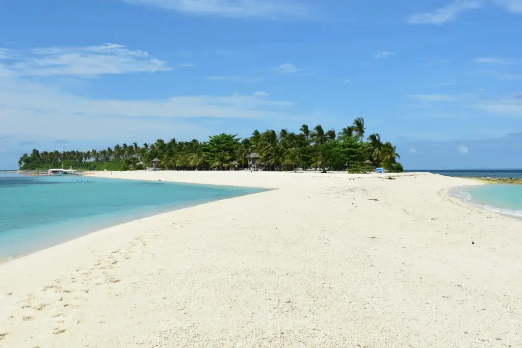
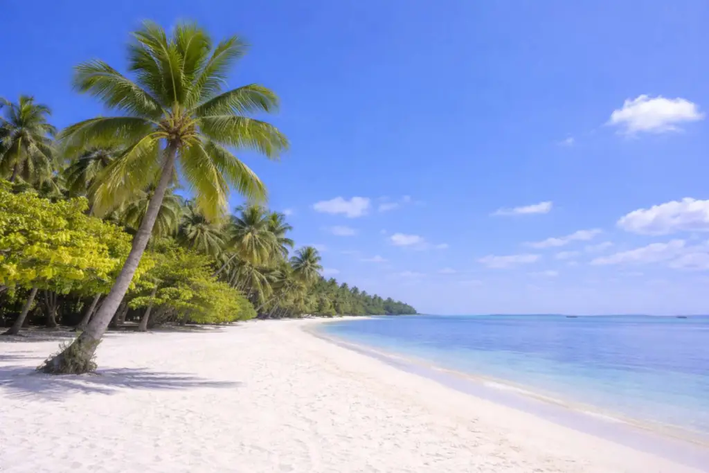
- Ingonish Beach: Perfect for sunrise shots where the mountains meet the Atlantic surf.
- Cheticamp Harbor: Ideal for capturing “Harbor Life”—colorful Acadian fishing boats and reflections.
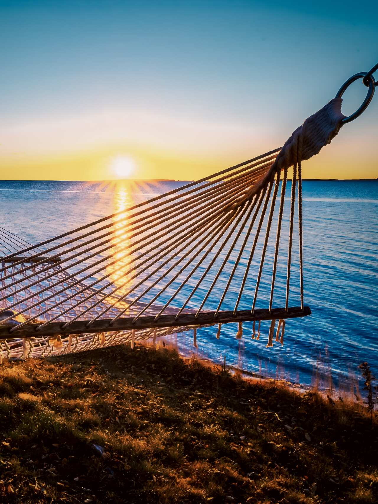
Where to Stay: A Cliffside Perspective
To truly capture the scale of the Atlantic, you need to stay on the edge of it. During my last visit, I stayed at the Sea Parrot Ocean View Manor in Ingonish. The manor sits on a dramatic bluff, and the sunrise views over the ocean were, quite simply, stunning. Waking up to the light hitting the water from your window provides a perspective you just can’t get from a roadside pull-off. It’s the perfect base for tackling the Franey Trail or the eastern Highlands.
Cape Breton Travel FAQ
3 to 4 days is the minimum to allow for weather delays and longer hikes.
Yes, provided you have your Offline Navigation, Emergency Lighting and other essentials. Moose are a bigger concern than bears; give them plenty of space.
Stock up in Baddeck, Ingonish, or Cheticamp. Between these hubs, services are very limited.
Wi‑Fi is not consistently available on the Cabot Trail itself — but you’ll usually find reliable Wi‑Fi in towns, accommodations, cafés, and visitor centres along the route. Cell service also has many dead zones in the park. Best to download maps for driving and routes for trail hikes in advance for offline use thru GPS.
Yes — there are small fuel stations on the Cabot Trail, but they are spaced out, and you should not rely on finding one at every village or town. The safest approach is to start with a full tank and top up whenever you pass a station if your tank is already down half or a third of the tank.
Final Thoughts
Cape Breton doesn’t overwhelm you with immediate, loud drama. It unfolds slowly, curve by curve, trail by trail. It’s the quiet moment on the Skyline boardwalk as the sun dips below the Gulf of St. Lawrence, or the feeling of “structural insignificance” when standing atop the Franey cliffs.
For those of us who appreciate the way things are built—whether by hand or by nature—Cape Breton is a masterclass. It’s a place that reminds you that even the wildest landscapes have a logic and a beauty worth the long drive. Before you’ve even left the island, you’ll likely be planning your return.